
ဖိုင်:Philippines location map (Mindanao).svg

Size of this PNG preview of this SVG file: ၆၅၆ × ၄၈၆ ပစ်ဇယ်. အခြား ပုံရိပ်ပြတ်သားမှု: ၃၂၀ × ၂၃၇ ပစ်ဇယ် | ၆၄၀ × ၄၇၄ ပစ်ဇယ် | ၁၀၂၄ × ၇၅၉ ပစ်ဇယ် | ၁၂၈၀ × ၉၄၈ ပစ်ဇယ် | ၂၅၆၀ × ၁၈၉၇ ပစ်ဇယ်။
မူရင်းဖိုင် (SVG ဖိုင်, ၆၅၆ × ၄၈၆ pixels ကို အကြံပြုသည်, ဖိုင်အရွယ်အစား - ၃.၆၆ MB)
.svg)
အကျဉ်းချုပ်
| ဖော်ပြချက် |
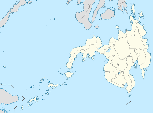
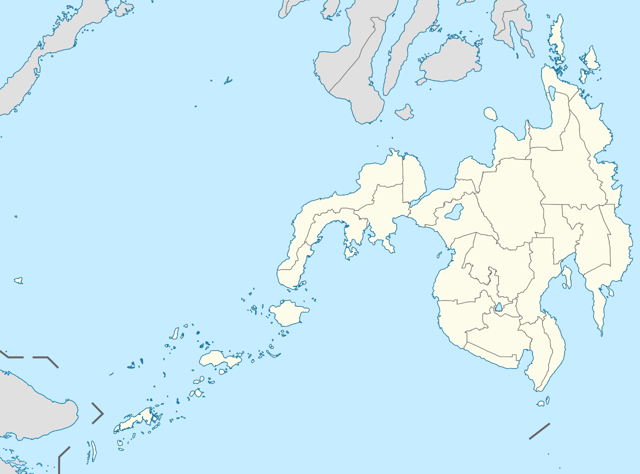
English: Location map of the Philippines (Mindanao)
Equirectangular projection based on the parallel of 10°43' N
|
| ရက်စွဲ | |
| ရင်းမြစ် | File:Philippines location map (square).svg |
| စာရေးသူ | User:Hellerick |
| အခြား ဗားရှင်းများ |
This file was derived from: Philippines location map (square).svg: .svg) |
လိုင်စင်သတ်မှတ်ခြင်း
ဤဖိုင်ကို Creative Commons Attribution-Share Alike 3.0 Unported လိုင်စင်ဖြင့် သတ်မှတ်ထားသည်။
- သင်သည် လွတ်လပ်စွာ:
- မျှဝေရန် – ဖန်တီးမှုကို ကူးယူရန်၊ ဖြန့်ဖြူးရန်နှင့် ထုတ်လွှင့်ရန်
- ပြန်ရောနှောရန် – ဖန်တီးမှုကို ပြင်ဆင်ညှိနှိုင်းရန်
- အောက်ပါ အခြေအနေများတွင်:
- မှတ်ယူနိုင်ခြင်း – ပြောင်းလဲမှုများ ပြုလုပ်ခဲ့ပါက ဖန်တီးသူ သို့မဟုတ် လိုင်စင်ရှိသူမှ သတ်မှတ်သော အမျိုးအစားကို လိုက်နာရမည် (ဆိုလိုသည်မှာ သင့်အား သို့မဟုတ် သင့်ဖန်တီးမှုတွင် အသုံးပြုခြင်းအား ထောက်ခံချက်ပေးသည်ဟု မဆိုလိုပါ)။
- ထပ်တူမျှဝေ – ဤဖန်တီးမှုအား ပြင်ဆင်ခြင်း၊ ပြောင်းလဲခြင်း သို့မဟုတ် ထပ်ဆင့် ဖန်တီးခြင်း ပြုလုပ်ပါက ရရှိလာသော ဖန်တီးမှုကို ဤဖန်တီးမှုနှင့် သို့မဟုတ် ဆင်တူသော လိုင်စင်ဖြင့်သာ ဖြန့်ချိသင့်သည်။
ဖိုင်မှတ်တမ်း
ဖိုင်ကို ယင်းနေ့စွဲ အတိုင်း မြင်နိုင်ရန် နေ့စွဲ/အချိန် တစ်ခုခုပေါ်တွင် ကလစ်နှိပ်ပါ။
| နေ့စွဲ/အချိန် | နမူနာပုံငယ် | မှတ်တမ်း ဒိုင်မန်းရှင်းများ | အသုံးပြုသူ | မှတ်ချက် | |
|---|---|---|---|---|---|
| ကာလပေါ် | ၀၇:၁၁၊ ၁၇ မေ ၂၀၂၁ | | ၆၅၆ × ၄၈၆ (၃.၆၆ MB) | Petriolo | Reverted to version as of 05:35, 3 May 2021 (UTC) The new administrative borders are based from the Philippine government websites (https://www.geoportal.gov.ph/; http://noah.up.edu.ph/), and is deemed accurate. These new files have reliable sources and there's no "beauty" in it if it is inaccurate in the first place. |
| ၁၄:၀၂၊ ၁၆ မေ ၂၀၂၁ |  | ၆၅၆ × ၄၈၆ (၂.၂၂ MB) | AichiWikiFixer | Reverted to version as of 14:34, 27 October 2017 (UTC) (Borders seen as ugly) | |
| ၀၅:၃၅၊ ၃ မေ ၂၀၂၁ |  | ၆၅၆ × ၄၈၆ (၃.၆၆ MB) | Petriolo | updated with NAMRIA borders | |
| ၁၄:၃၄၊ ၂၇ အောက်တိုဘာ ၂၀၁၇ |  | ၆၅၆ × ၄၈၆ (၂.၂၂ MB) | Mliu92 | Changed crop to add missing island. | |
| ၁၇:၂၃၊ ၂၆ အောက်တိုဘာ ၂၀၁၇ |  | ၅၇၃ × ၅၇၃ (၂.၂၂ MB) | Mliu92 | User created page with UploadWizard |
ဖိုင်သုံးစွဲမှု
ဤဖိုင်ကို အသုံးပြုထားသော စာမျက်နှာများမရှိပါ။
ဂလိုဘယ် ဖိုင်သုံးစွဲမှု
အောက်ပါ အခြားဝီကီများတွင် ဤဖိုင်ကို အသုံးပြုထားသည်-
- azb.wikipedia.org တွင် အသုံးပြုမှု
- en.wikipedia.org တွင် အသုံးပြုမှု
- Xavier University – Ateneo de Cagayan
- Moro Gulf
- Mindanao State University
- Ateneo de Davao University
- Francisco Bangoy International Airport
- Agusan del Sur State University
- Zamboanga International Airport
- Dipolog Airport
- Laguindingan Airport
- General Santos International Airport
- Cotabato Airport
- Pagadian Airport
- Surigao Airport
- Bancasi Airport
- Sanga-Sanga Airport
- Sayak Airport
- Bukidnon State University
- Mindanao State University–Iligan Institute of Technology
- La Salle University (Ozamiz)
- Mountain View College (Philippines)
- De La Salle John Bosco College
- Central Mindanao University
- University of the Philippines Mindanao
- Iligan Medical Center College
- Camiguin Airport
- Jolo Airport
- Labo Airport
- Father Saturnino Urios University
- Notre Dame of Marbel University
- Notre Dame of Dadiangas University
- Caraga State University – Cabadbaran Campus
- Fort Pilar
- Mindanao State University–Naawan
- University of Science and Technology of Southern Philippines
- Liceo de Cagayan University
- Cagayan de Oro College
- Misamis University
- San Pedro College
- University of the Immaculate Conception
- Assumption College of Davao
- Basilan State College
- 1976 Moro Gulf earthquake
- St. Michael's College (Iligan)
- University of Mindanao
- Saint Michael College of Caraga
- Colegio de Kidapawan
- List of Philippine Basketball Association playing venues
- Holy Cross of Davao College
- San Agustin Institute of Technology
ဤဖိုင်ကို အခြားနေရာများတွင် အသုံးပြုထားမှုများအား ကြည့်ရှုရန်။
.svg)
.svg)